

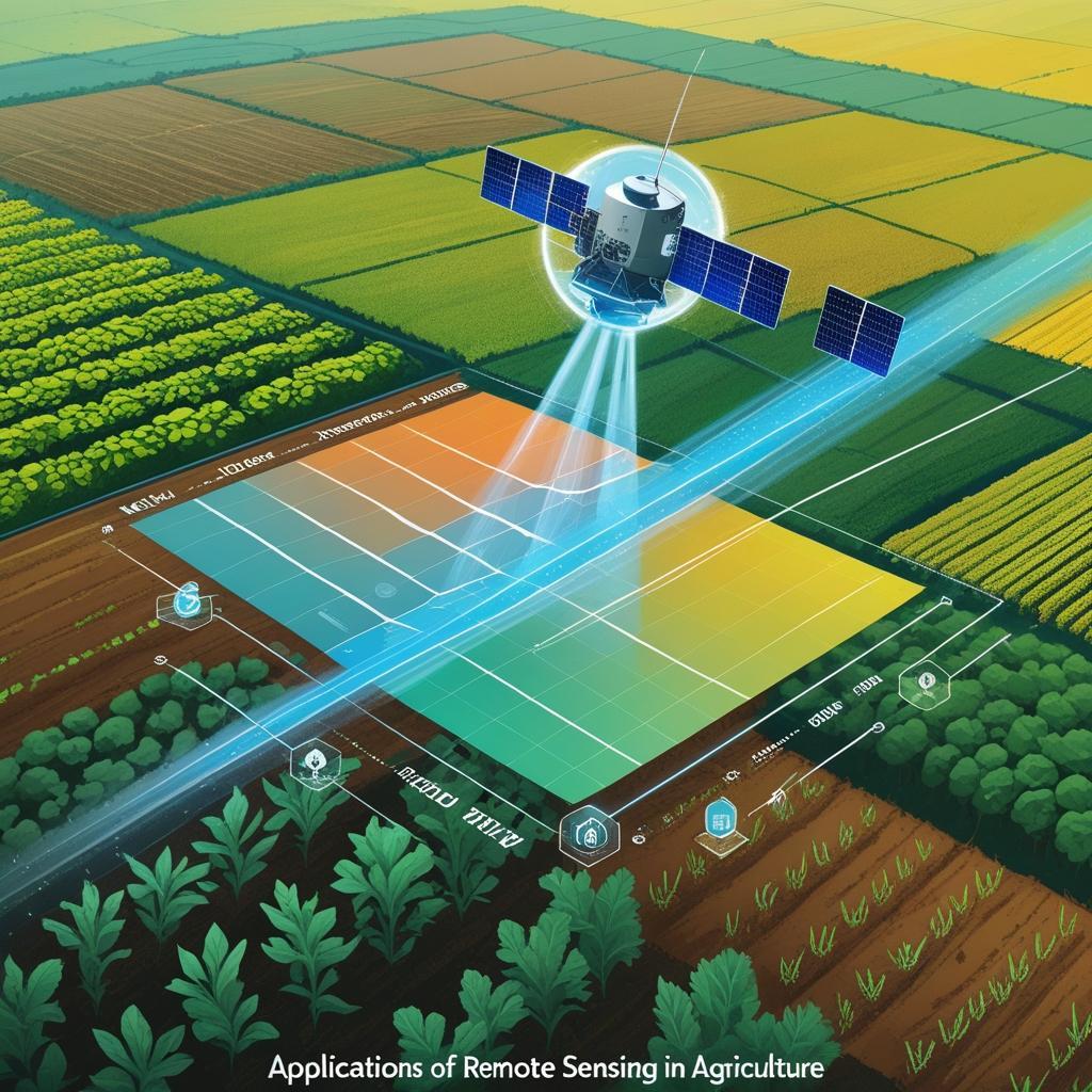
Remote sensing is a powerful technology that involves collecting information about the Earth's surface without physical contact. It has become an essential tool in agriculture, especially with the need to increase food production for a growing global population of 9.15 billion by 2050. This blog explores various applications of remote sensing in agriculture, highlighting how it aids in crop monitoring, soil analysis, water management, and more. The table below summarizes 30 critical applications of remote sensing in agriculture, illustrating its impact across various aspects of farming.
Remote sensing applications in agriculture
1. Crop production forecasting
What it is:
Crop production forecasting involves predicting the expected yield and total production of crops over a specific area and time period using satellite imagery and remote sensing data.
How Remote Sensing Helps:
- Satellite images capture data on crop health, vegetation cover, growth stages, and land use.
- Vegetation indices like NDVI (Normalized Difference Vegetation Index) help monitor how crops are growing.
- Weather data integration (rainfall, temperature, sunlight) is combined with crop condition to make yield estimates.
- Temporal analysis allows tracking changes in crop growth throughout the season.
2. Assessment of Crop Damage and Progress
What It Means:
This application involves using satellite data and remote sensing tools to track the growth stages (progress) of crops during the season and identify and measure damage caused by floods, droughts, pests, or diseases.
How Remote Sensing Helps
- Remote sensing captures regular imagery that shows how crops are growing over time.
- Vegetation indices (like NDVI or EVI) are used to evaluate plant health and greenness.
- Helps detect delayed growth, early maturity, or crop failure in specific regions.
- Satellite images before and after an event (like a cyclone or drought) are compared.
- Helps assess which areas are affected, the severity, and the estimated loss in yield.
3. Crop Identification
What It Means:
Crop identification involves using remote sensing technologies to detect, classify, and map different types of crops grown over a region — without physically visiting the fields.
How Remote Sensing Helps:
- Satellite imagery captures data on the surface of the Earth, including farmland.
- Each crop has a unique spectral signature — meaning it reflects and absorbs sunlight differently at various wavelengths.
- By analyzing these patterns, remote sensing tools can distinguish between crops like wheat, rice, maize, sugarcane, etc.
4. Crop Acreage Estimation
What It Means:
Crop acreage estimation** refers to calculating the total area under cultivation for a specific crop in a particular region during a given season using satellite images and remote sensing data.
How Remote Sensing Helps:
- Satellite imagery provides wide coverage of agricultural land, capturing real-time images during sowing and growth periods.
- Remote sensing tools analyze vegetation indices and spectral signatures to identify the type of crop and measure the area it covers.
- The process involves crop classification followed by area measurement using GIS (Geographic Information Systems).
- Time-series satellite data helps in tracking sowing dates and crop emergence, improving accuracy.
5. Crop Yield Modelling and Estimation
What It Means:
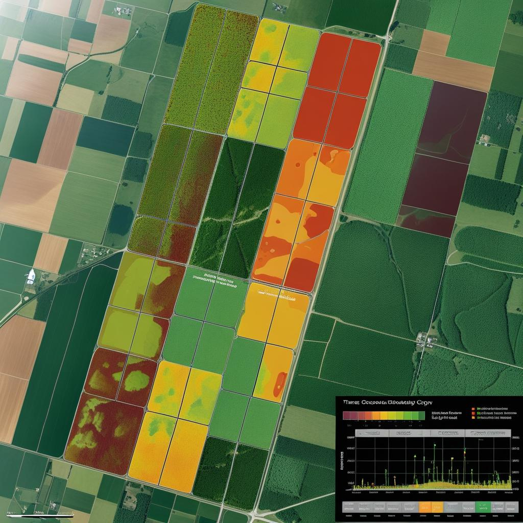
Crop yield modelling and estimation** involves predicting how much crop (in quantity or weight) will be produced per unit area (like per hectare) — before harvesting — using satellite data, weather inputs, and agro-climatic models.
How Remote Sensing Helps:
- Remote sensing provides real-time data on crop health, biomass, and growth stages using vegetation indices (e.g., NDVI, EVI).
This data is combined with:
-Weather information (rainfall, temperature, humidity)
-Soil conditions
-Crop type and calendar
Using these inputs, crop growth simulation models (like DSSAT, WOFOST) or AI-based models are applied to estimate expected yield.
The models simulate plant growth and development under various conditions to predict final output.
6. Soil Moisture Estimation
What It Means:
Soil moisture estimation is the process of measuring the amount of water present in the soil, especially in the root zone, which is vital for crop growth and health.
How Remote Sensing Helps:
- Satellites like SMAP, Sentinel-1, and MODIS use microwave and thermal sensors to detect the moisture content in the top layer of the soil.
- These sensors measure changes in surface reflectance or emitted radiation, which vary based on moisture levels.
- Active (radar) and passive (radiometer) remote sensing techniques are both used to monitor soil moisture over large areas.
7. Irrigation Monitoring and Management
What It Means:
Irrigation monitoring and management involves tracking water usage in agricultural fields to ensure crops get the right amount of water at the right time — not too much, not too little.
How Remote Sensing Helps:
- Remote sensing technologies (like thermal infrared sensors, multispectral satellites, and drones) help detect crop water stress, evapotranspiration rates, and soil moisture variations.
- Satellites such as Landsat, Sentinel-2, and MODIS provide frequent imagery to monitor water needs.
- NDVI (Normalized Difference Vegetation Index) and ET (Evapotranspiration) maps are used to assess plant health and irrigation efficiency.
8. Soil Mapping
What It Means:
Soil mapping is the process of identifying and classifying different types of soil across a geographic area. It provides detailed information on soil texture, structure, fertility, moisture, salinity, and other characteristics — essential for making smart agricultural decisions.
How Remote Sensing Helps:
- Remote sensing tools (satellites, drones, aerial imagery) collect data on soil reflectance, moisture content, and surface roughness.
- Multispectral and hyperspectral sensors can detect variations in soil properties based on how the soil reflects different wavelengths of light.
- Technologies like LiDAR and thermal imaging help assess elevation, drainage, and erosion risk, all critical for accurate soil maps.
These tools generate high-resolution, geo-referenced soil maps covering large areas efficiently.
9. Monitoring of Droughts
What It Means:
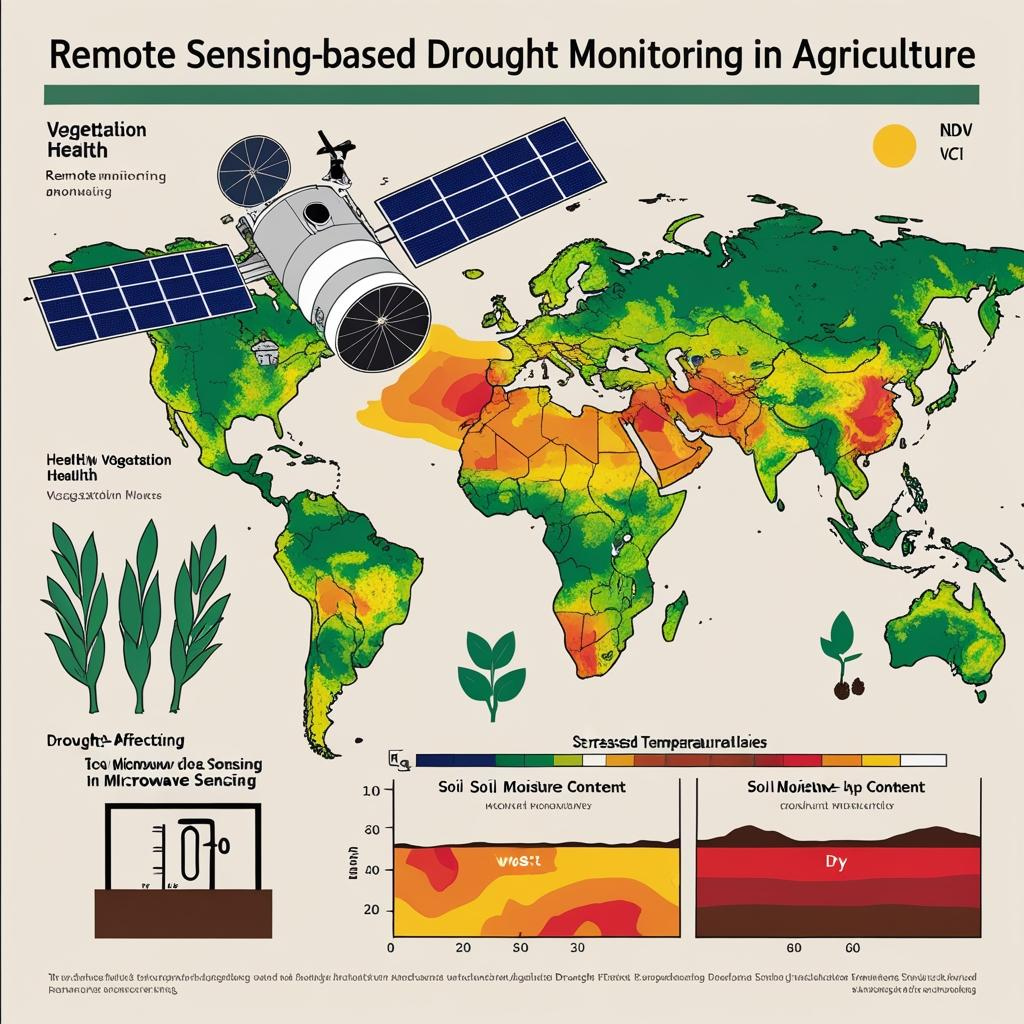
Drought monitoring refers to the process of detecting, tracking, and assessing drought conditions over time to understand their impact on crops, soil, and water availability. Since droughts develop gradually and cover large areas, remote sensing plays a key role in early detection and continuous monitoring.
How Remote Sensing Helps:
- Satellite imagery tracks changes in vegetation health, soil moisture, and surface temperatures across regions.
- Vegetation indices like NDVI (Normalized Difference Vegetation Index) and VCI (Vegetation Condition Index) help identify stress in crops due to a lack of water.
- Thermal sensors detect land surface temperature anomalies that indicate potential drought conditions.
- Microwave sensors estimate soil moisture content, even under cloudy conditions.
- Helps compare current conditions with historical data to predict severity and duration.
10. Crop Nutrient Deficiency Detection
What It Means:
This refers to identifying nutrient-related problems in crops—like nitrogen, phosphorus, or potassium deficiency—by analyzing changes in plant color, growth, and health. Instead of relying only on manual field inspection, remote sensing helps detect these deficiencies quickly and at scale.
How Remote Sensing Helps:
- Multispectral and hyperspectral sensors capture reflectance data from crop canopies in different wavelengths.
- Vegetation indices like NDVI (Normalized Difference Vegetation Index), PRI (Photochemical Reflectance Index), and NDRE (Normalized Difference Red Edge) can highlight chlorophyll levels, which are directly related to nutrient health.
- Color changes caused by nutrient stress (like yellowing leaves from nitrogen deficiency) are picked up by satellites or drones.
- Enables early-stage detection, often before symptoms are visible to the naked eye.
Conclusion
In conclusion, remote sensing has transformed the agricultural sector, enabling precision farming, efficient water and soil management, and real-time crop health monitoring. These applications help farmers optimize resources, increase productivity, and adapt to changing environmental conditions. As remote sensing technology continues to evolve, its potential in agriculture will expand, supporting sustainable and resilient food systems.